
Cheltenham Township Neighbor Sources Around Addresses
The public sources for Cheltenham Township neighbors describe a block in layers. The county map can show which parcels touch or sit across a road from the subject parcel. Property records give the address-and-parcel path. Recorded plans and deeds add the dated lot and transaction record. Historic material can show a community or household at a stated date. These sources have limits, so the table identifies both their value and the access route instead of promising a roster of people who live nearby.
| Source | What it shows around an address | Access route |
|---|---|---|
| Streets, Parcels, Address Points Viewer | Parcel outlines, street lines, address-point symbols, and visual map adjacency. | Free county web map; search an address or place, then click a feature. |
| Montgomery County Property Records | Subject or adjacent parcel assessment context after an address or parcel lookup. | Free county application; property data updates weekly. |
| Recorder deeds and plans | Recorded lot, plan, party, and document chronology. | Account index, remote-image subscription, public terminal, office, or copy route. |
| Election Code street list | Registered-elector names and addresses arranged by election district when lawfully accessed. | Restricted statutory recipient and inspection route; not for internet publication. |
| Township historic-district material | La Mott and Wyncote development and historical-boundary context. | Township history and historic-district material. |
A parcel map can identify an adjacent lot, but it is not a survey or a legal boundary. A recorded party is not automatically a current occupant. A historical directory or census relationship belongs only to the source date. Cheltenham Township neighbors are best understood by labeling the source, date, and level of certainty for each result.
Cheltenham Township Parcels for Neighbor Context
The Montgomery County Interactive Tax Map is the county's practical tool for visual block context. Center the subject parcel, identify lots that touch a boundary or are separated only by a road or alley, and open each parcel record one at a time. The documented method is an adjacency log: subject parcel ID, adjacent parcel ID, shared side or direction, map date, and whether the relationship is visible on the map or confirmed by a survey.
Address → parcel ID → surrounding parcels → recorded plan or deed → dated local context.
The county did not document a public buffer tool or a bulk adjacent-parcel export. Do not claim that either exists. If the map session does not expose the needed adjoining record, the Board of Assessment can be asked for a tax-map or data product, or the recorded plan can be consulted. The map has a useful geographic role, but legal boundaries belong in a survey or recorded legal description.
Note: Keep the map date beside the adjacency log because property, map, and imagery layers update on different schedules.
Cheltenham Township Voter Lists Are Not Rosters
Pennsylvania's public voter-status route is a personal-status tool, not a Cheltenham Township neighbor directory. The Commonwealth guide sends a voter to the status form and offers a county or telephone fallback. For Cheltenham questions, Montgomery County Voter Services is the local registration and list-access custodian. The official guide did not expose a non-personal street, name, precinct, or household search during the research inspection.
Election Code sections 1403 and 1404 create limited public-list and street-list rules, with identification, written-purpose, recipient, inspection, and delivery limits. Section 1404 restricts unrelated use of public-information-list data. The regulations bar internet publication of public-information lists and street lists, and they protect signatures, unique identifiers, certain confidential addresses, and other sensitive fields. Voting history records participation, never ballot choices.
A registered elector seeking a permitted list must obtain current procedure, cost, and delivery terms from the County. A result from an older list needs a source date and county confirmation rather than speculation about a person's present address or views.
Cheltenham Township Historic Blocks for Neighbors
Historic context can make a block question more precise without turning it into a current neighbor list. The Township's historic-district account describes Wyncote's late-1880s development by several developers, an improvement association active in the 1890s, and substantial lot development by 1915. It identifies La Mott as a separately bounded historic district. That timing helps choose a deed, plan, tax-list, directory, census, or later municipal record for the period under review.
Wyncote Improvement Association
The Township describes the association's role in the 1890s development context. It is historical material, not a current membership or contact directory.
La Mott Historic District
Township historic-district material gives a place-specific source for boundary and development context. Confirm a particular location independently.
Historical Commission
The Township Historical Commission and Wall House resources offer publications, meeting material, and local-history leads for dated block research.
Historic labels should stay in the wording used by the source. An older item might be filed under Cheltenham Township, Elkins Park, Wyncote, Glenside, La Mott, or Shoemakertown. The Township identifies Shoemakertown as now part of Elkins Park, so matching only the modern form can hide a relevant historical result.
Note: The historic association is a dated research clue and should not be treated as a current contact source.
Map Cheltenham Township Parcels by Block
One address can be expanded to a small, documented block view without making an occupancy claim. Use the County's address and map tools first, then move only to the next source needed for the question. For example, a recorded plan can clarify lot structure, while a historical source can explain who was connected to the address on a particular date. Record the source date before comparing results from different systems.
- Locate the known Cheltenham Township address through County Property Records or the Interactive Tax Map and retain its parcel ID and situs spelling.
- Click surrounding parcels individually and log only their map relationship to the subject parcel.
- Use the Recorder index to find a relevant deed or plan reference, then obtain the actual instrument through the available image, terminal, office, or copy channel.
- Use a dated census, tax list, directory, or historic-district source only for its stated date and place label.
- Move to a precise Township records request if the question concerns a defined permit, code, zoning, or police record at the address.
For an entire named street rather than the immediate block, use the Cheltenham Township street directory for the fuller address-based record chain. A block inquiry should remain small, dated, and source-specific.
Cheltenham Township Neighbor Records by Date
Municipal files can add a date-specific layer to a Cheltenham Township block question. The Township moved permit and zoning submissions to OpenGov beginning in 2025, with electronic applications required from March 26. The system is a submission path, not a public address-results directory. It lists building, electrical, HVAC, plumbing, fencing, fire-protection, roofing or siding, and other application categories, but a retained application or permit file documents a project and date, not a household.
The Township permit information page documents the OpenGov transition and the application categories.
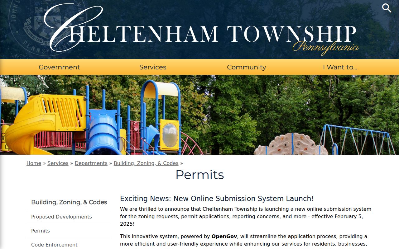
The image illustrates the current submission route. For retained records, make a finite request to the appropriate custodian that names the address, record category, date range, and delivery preference under the Pennsylvania Right-to-Know Law.
For a police record, the Township request form accepts an approximate incident date, location, case number, delivery choice, and detailed record description. It does not guarantee public release. Investigative, suspect, juvenile, and arrest material may be withheld, and a crash report follows its separate process. The Office of Open Records advises that a request be specific enough to identify the records sought.
Note: A date-bounded request is more useful and less intrusive than a broad request for every record connected to an address.
Cheltenham Township Neighbors and Private Details
Public accessibility has real boundaries. Pennsylvania's Right-to-Know Law protects many kinds of personal identifying, financial, medical, minor, and security-sensitive information. Court, police, vital, voter, and Recorder records have their own limits as well. The Address Confidentiality Program provides a substitute-address route for eligible survivors of domestic violence, sexual assault, human trafficking, or stalking. A protected address must never be inferred, connected, or publicized.
| Official source path | Commercial neighbor tools |
|---|---|
| Shows a named custodian, record type, date, and documented access limit. | Does not replace the official custodian or the limits on a record's use and release. |
| Allows a result to be checked against the parcel ID, instrument reference, or record date. | A name or address match should still be checked against compatible official identifiers. |
| Can provide an office, archive, or request fallback when an online result is incomplete. | Cannot turn a historical or map result into proof of present occupancy. |
Lawful use. Use Cheltenham Township neighbors research for personal, lawful block history, civic context, or safety awareness. Do not use records to watch, harass, intimidate, or harm anyone; Pennsylvania's harassment and stalking provisions, 18 Pa.C.S. §§ 2709 and 2709.1, are important limits.
Cheltenham Township Neighbors in Local History
The Township Historical Commission is a stronger community-history source than an unverified roster. It manages the Richard Wall House Museum, publishes The Wall Paper, and posts agendas, minutes, and newsletter material. The Township history also identifies historic markers for sites such as Beth Sholom Synagogue, Camp William Penn, the Village of La Mott, and Wall House. These are practical starting points for dated neighborhood history and original-source citations.
The Township Historical Commission page is the verified route for the Commission's Wall House and publication context.
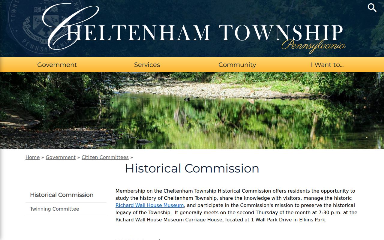
Use a dated issue, agenda, minute, marker, or archival item when drawing a block-history conclusion. The research found no current authoritative neighborhood-association or homeowners-association roster or boundary database, so historic context should not be presented as live neighborhood membership. A local-history publication can explain why an area developed as it did, but it cannot establish who occupies nearby properties today.