
Trace a Cheltenham Township Street
An address-led Cheltenham Township street directory search uses several records in sequence. The county assessment application connects a Cheltenham Township street address to its parcel context. The map supplies visual context. The Recorder then supplies dated document references, but its index is organized around parties and documents rather than a promise about a present household. A voter record is not a public block roster. County access rules control limited list requests, and protected details must remain protected. Historic directories, tax lists, and census material can add a dated address or community lead after the current Cheltenham Township parcel work is complete.
- Enter the exact address in Montgomery County Property Records. Save the returned situs spelling, municipality, parcel ID, and date of the search.
- If the address is unclear, use Map Search and open the likely parcel rather than selecting a similar number by guesswork.
- Open the Interactive Tax Map for visual parcel and street context. Record only visible relationships, not a legal boundary.
- Create an account for the Recorder's Public Access System, then try the parcel ID, address, and relevant party-name variants.
- Obtain the selected deed or plan through the subscription, a public terminal, or an office or mail copy route. Read the instrument before describing a transfer.
That chain keeps the roles distinct. An assessment record is not title proof, a map is not a survey, and a grantor or grantee is not automatically a present occupant. For an older name found at the address, the documented historical materials are described on the Cheltenham Township city directory page.
Cheltenham Township Street Parcel Search
The County Property Records application is the first official stop for a Cheltenham Township street directory search. It offers address, parcel-ID, advanced, map, and sales modes. It does not offer an owner-name mode, which the county removed in 2022. Start with the physical address and use the parcel identifier as the stable bridge to the Recorder for a Cheltenham Township parcel. The county says property data is updated weekly, map data daily, and photographs quarterly, so retain the search date beside any result. The county also warns that its property information is not a title search, appraisal, zoning decision, permit review, survey, or legal description.
| Property Records mode | Input | Street-directory use | Limit |
|---|---|---|---|
| Search by Address | Current street address | Find the parcel and county situs wording | Not a name search |
| Search by Parcel ID | County parcel identifier | Return to an identified parcel | Does not establish title |
| Advanced Search | Available property filters | Refine an official property query | Live controls follow the portal disclaimer |
| Map Search | Geographic selection | Find a parcel near the address | Use a recorded source for boundaries |
| Sales Search | Sales or property criteria | Locate a property record path | Review the underlying record |
The county address-search interface shows the entry route used for a Cheltenham Township street directory lookup.
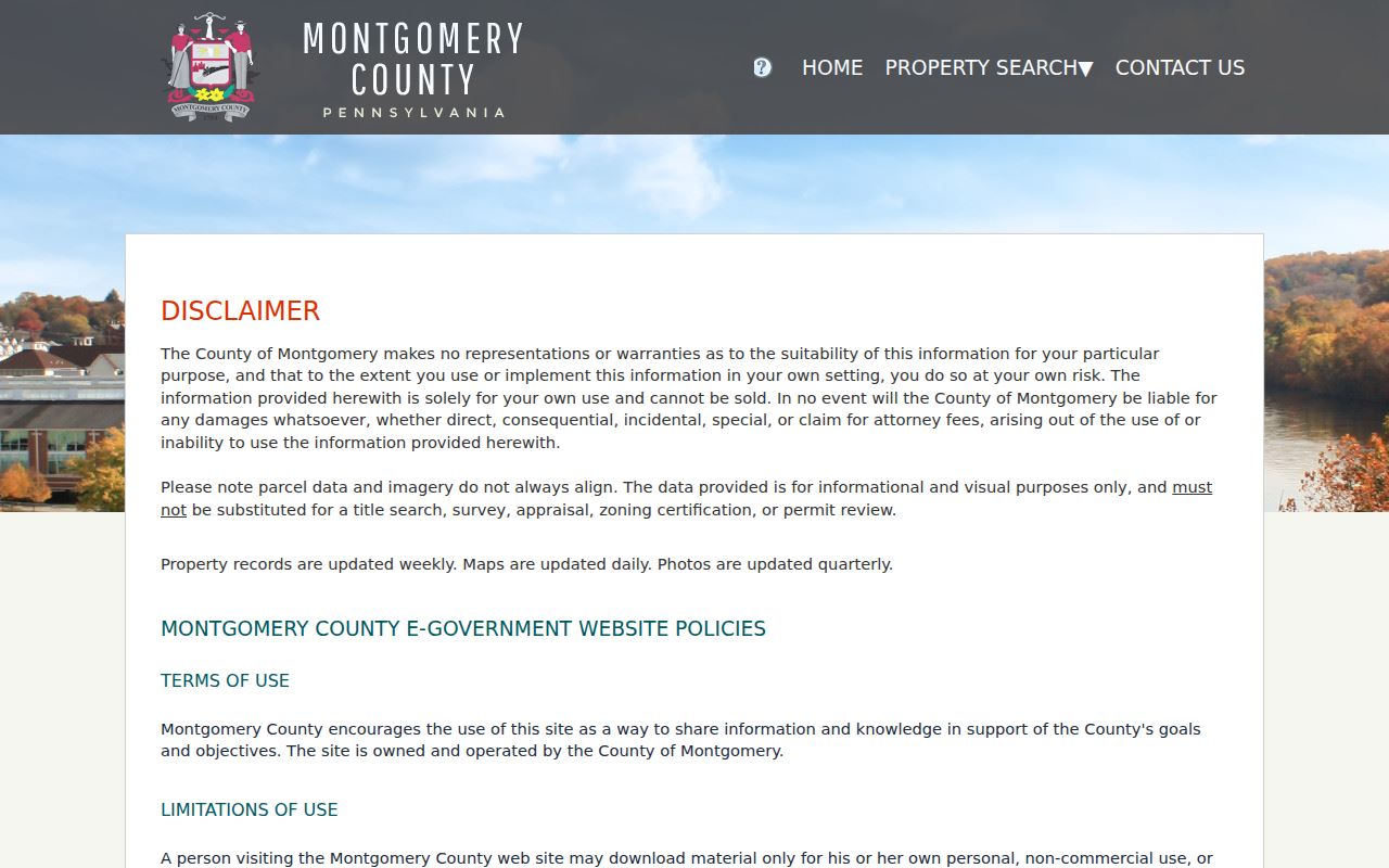
The screen is a starting point for an address and parcel record, not a result that proves an individual lives at the property.
- Parcel ID
- The county's unique key for a property record. It is useful for returning to the same parcel and for Recorder searches.
- Situs address
- The physical property location shown in the county record. Preserve its spelling when moving between systems.
- Plat or recorded plan
- A recorded layout or subdivision reference. It can clarify lot structure, but it is not a substitute for a professional survey.
- Criss-cross directory
- A street-ordered directory section, if a verified volume contains one. It must be treated as a dated source with its own coverage.
Cheltenham Township Street Map Layers
The county's Streets, Parcels, Address Points Viewer is useful for orienting a Cheltenham Township address. Type a Cheltenham Township address or place into the viewer, select a suggested result, and zoom to the relevant area. At wider scale, streets appear as green lines. At closer scale, parcels appear as red outlines and address points as red circles or number symbols. A click can open available feature information. The public configuration returns up to six suggestions or results and includes a legend and a return-to-countywide control.
Use the map to make a Cheltenham Township adjacency log rather than a list of people. A useful note records the subject parcel ID, each adjacent parcel ID, the shared side or direction, the map date, and whether the relationship is visible or survey-confirmed. The viewer is a county data sample, not a comprehensive listing. If it does not expose the needed record, the Board of Assessment can provide a tax-map or data product, and recorded plans are the next document route.
Note: A tax-map line shows map context, while a survey or recorded legal description answers a boundary question.
Cheltenham Township Address Records by Street
Different custodians hold different parts of a Cheltenham Township address trail. The table separates the documented channels so a Cheltenham Township street directory search does not collapse map context, a recorded party, a municipal file, and a dated historical reference into one claim. The owner-name search removal in Property Records makes the address and parcel route especially important. The Recorder index can search an address or parcel after account creation, but a document image has its own access path. Cheltenham Township permits are submitted through OpenGov, while a request for existing municipal material needs a narrow record-specific approach.
| Address-keyed source | Custodian | What to retain | Access route |
|---|---|---|---|
| Property record | Board of Assessment Appeals | Parcel ID, situs, property context, query date | Free Property Records application or data request |
| Parcel and street map | Montgomery County GIS | Visible parcel and street relationships | Free Interactive Tax Map |
| Deed, mortgage, satisfaction, or plan | Recorder of Deeds | Parties, dates, book or page, and instrument reference | Account index, paid images, public terminal, office, or mail copy |
| Permit, inspection, zoning, or code file | Cheltenham Township custodian | Address, category, date range, and delivery choice | Precise Right-to-Know request for releasable records |
| Historic address reference | County Archives, PHMC, or library inquiry | Date, community label, title, page, and source type | Walk-in, online collection, microfilm, or catalog inquiry |
The property system covers more than 300,000 county parcels, and its Open Data route is free. For a custom map or report, the Board of Assessment directs requests to BOA.DataRequests@montgomerycountypa.gov. That request channel can help where a standard address result or map view does not answer the narrow mapping question.
Cheltenham Township Street Deed Details
The Montgomery County Recorder's Public Access System reaches records dating to 1784. Its current deeds and mortgages are indexed through May 8, 2026. A Cheltenham Township street directory search should use the parcel result as a lead, then query the Recorder by parcel ID, address, relevant name variant, or book and page. The index helps identify deeds, mortgages, satisfactions, and plans. It does not replace the actual document. Remote images require a $25 day subscription or a $300 monthly subscription. Plain subscription copies cost $0.50 per page, and an e-certified copy is listed at $10.50. Public computers plus office and mail copies remain available alternatives for a Cheltenham Township deed search.
The Recorder account screen is the required gateway before searching public records in the Cheltenham Township street directory deed path.
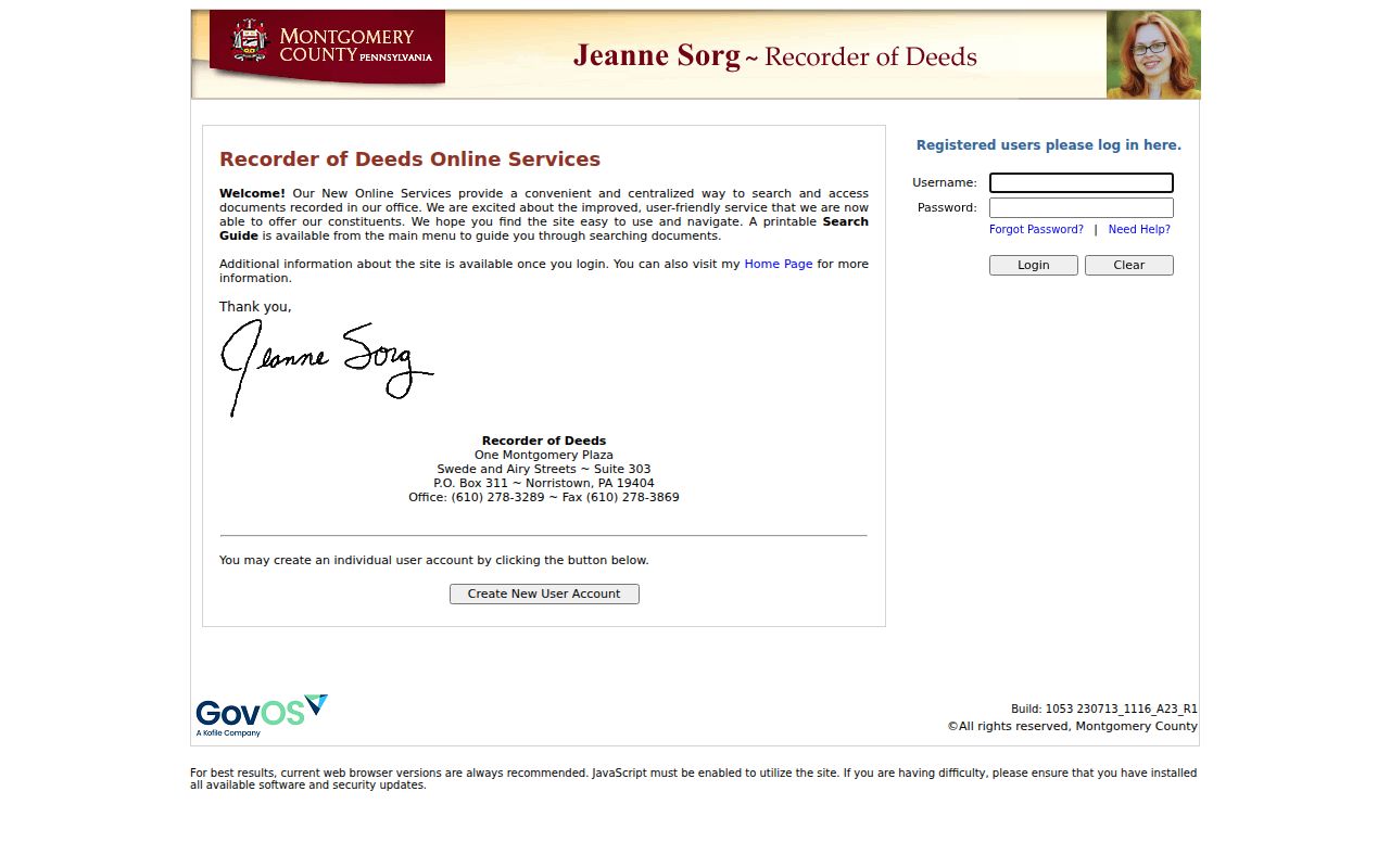
After a document reference is found, the instrument itself supplies the document date, recording date, party roles, legal description, and cited prior reference needed for a careful property timeline.
Cheltenham Township Plan Book Conventions
Historic plan searching needs special care. Plan books use three-digit numbers, so the county gives A-4 as A004. Use the instrument's book, page, plan type, letter prefix, and parcel identifier exactly as the Recorder presents them. A plan reference can clarify a lot or subdivision record, but the recorded instrument and any survey answer different questions. The county map remains a visual aid rather than a legal boundary source.
The Recorder identifies gaps in Plan Books 16 through 21, Deed Books 1325, 1326, 1377 through 1381, and 1540 through 1544, plus stated mortgage-book gaps. A missing result can reflect a known record-series gap rather than an absent Cheltenham Township property history. FraudSleuth alerts are free and work best with the parcel ID, which remains more stable than a changing party name across a deed chain.
Cheltenham Township Street Permit Requests
Cheltenham Township's OpenGov system became the required electronic path for permit and zoning applications in 2025. It handles submissions and status activity for zoning, land development, construction, fire protection, and right-of-way work. The official material does not establish a general public results search. For existing records tied to a Cheltenham Township address, identify the exact record type, date range, address, and preferred delivery method in a request to the responsible Township custodian under the Pennsylvania Right-to-Know Law.
A focused request is easier to search and less likely to sweep in material subject to lawful redaction. If an early-2025 record is important, name the OpenGov transition so the Township can check both retained legacy files and the newer electronic workflow. The Office of Open Records filing guidance explains the statewide request process and the need for a specific description. Police records use a separate Township channel and can have different access limits.
Cheltenham Township Street History Labels
Older Cheltenham Township street records may use a place label that differs from today's postal wording. Catalog and archive searches should try Cheltenham Township, Elkins Park, Wyncote, Glenside, La Mott, Cheltenham Village, and Shoemakertown, while preserving the form printed in the original source. Shoemakertown is now part of Elkins Park. Wyncote developed in the late 1880s, and substantial lot development there had occurred by 1915. La Mott has its own historic-district context. These labels help select a time-appropriate source; they do not settle a modern parcel or ZIP question.
Cheltenham Township's history also supplies place-aware terms for street research. Mill Road refers to the creek mill, and Hammond Road recalls a nineteenth-century tool maker. Brooke, Clements, Pleasant Hill, and Deaver have documented local origins. Use those names as search terms in Township Historical Commission publications, county archives, and recorded plans. For early address questions without a reliable street number, the PHMC Cheltenham Township tax-list groups and census material provide a dated township presence rather than a modern address match.
Cheltenham Township Street ZIP Checks
Postal labels can help normalize a Cheltenham Township address but do not replace the county street record. Township material associates 19012 with Cheltenham Village, 19027 with Elkins Park, 19038 with Glenside, and 19095 with Wyncote. Each is an orientation label, not a municipal boundary rule. Verify a live Cheltenham Township delivery address with the USPS ZIP lookup before using a postal code in a record note. Property Records and the Tax Map are not ZIP-only resident-search tools.
Keep four fields apart: the USPS-verified delivery address, the county situs address, any mailing field that the live record actually displays, and the recorded legal description or plan reference. Those fields can describe related but nonidentical Cheltenham Township locations. This is particularly important when historical items use Elkins Park or another community name on a record that later research files under Cheltenham Township.
Note: Record the verified ZIP and the date checked, because postal coverage is a delivery system and can change.
Cheltenham Township Street Directory Boundaries
A Cheltenham Township street directory can point to parcels, recorded instruments, dated historical listings, and a lawful request route. It cannot provide a complete present-day household list. A map may show an address point or an adjoining parcel, but it does not show who occupies a building. A Recorder party is a party to a document, not independent proof of present residence. Pennsylvania's voter-status tool is for an individual's own status and is not a public street search. Street lists and public-information lists have statutory limits, controlled access conditions, and no internet-publication rule.
Lawful use. Use Cheltenham Township address records for personal, lawful research and respect protected details. Pennsylvania law prohibits stalking, harassment, or harm, and a source should never be used to make unsupported claims about a person.
For a permitted Cheltenham Township voter-list question, contact Montgomery County Voter Services for its current procedure. The Election Code permits specified list access under safeguards, while the public self-status route is not a substitute for a street directory. The record's date, custodian, and access conditions matter as much as the address.